Update on the Wairoa River Bar Management Plan
Hawke’s Bay Regional Council (HBRC) has released an Intermediate River Bar Management Plan for Wairoa, following a government review into last year’s June floods. The review raised concerns about the HBRC’s decision not to open the river mouth earlier, despite rising flood risks.
The plan includes lowering a section of the beach crest between Rangi-houa/Pilot Hill and the old pier. This replaces the Interim River Bar Management Plan, that consisted of a trench and coffer dam on the seaside of the bar. HBRC says this will help floodwaters exit more safely with no requirement for manual bar opening in a flood event. Tātau Tātau o Te Wairoa (TToTW) has been involved in the working group developing the plan. However, while we’ve been at the table, we are not equal decision-makers when it comes to operational management.

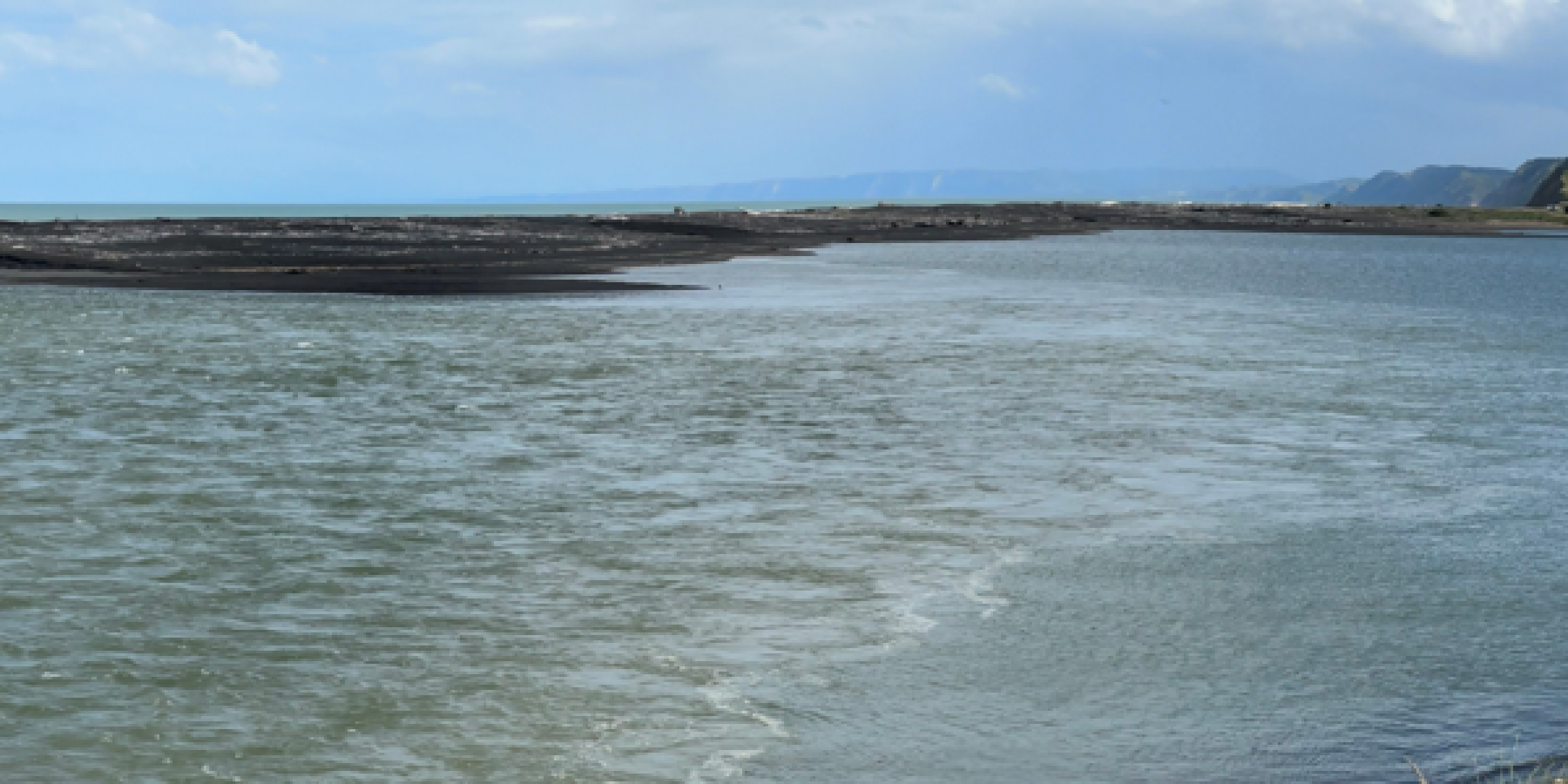
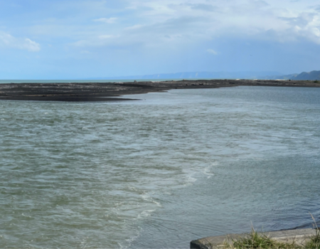
Wairoa bar from the shoreline
“We understand the need to manage flood risk,” says TToTW Project Manager, Tryphena Cracknell, “but solutions must reflect tangata whenua values, responsibilities, and lived realities. This is about more than engineering — it’s about the health of our people and our awa.”
In a formal letter to HBRC, we’ve asked for the river mouth to be recognised as part of the wider river system — ki uta ki tai. It must remain central to any flood response. We’re requesting a Cultural Impact Assessment of the area, and clearer, stronger direction for mechanical openings when the mouth moves beyond Rangihoua. We have also suggested installing a marker at the lowered crest to support public monitoring, with potential for citizen science to sit alongside the HBRC monitoring.
“We’ve offered constructive feedback for this important kaupapa,” says Tryphena. “Mana whenua connections to the awa are deep, and our responsibility to protect it, and help to keep the community safe is ongoing.”
We’ve also shared the Intermediate River Bar Management Plan with the Kāhui, so please reach out to your representative with any pātai or whakaaro.